Terraplan-3D
3D-Digital Terrain Models
From the digital
3-dimensional aerial-photo-analysis
we
create lattice models
. These can be visualised as
videoanimation
with the planning status.
(To enlarge the photos please click on them!)
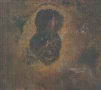
Aerial photo
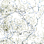
Topography
Lattice model (partial section)