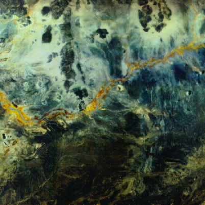
Terraplan-3D
Image Processing
Satellite pictures with passpoints for large-scale
outset-planning and orientation: